Stand at 35th Avenue SW and SW Myrtle Street on a clear afternoon and you'll understand why the claim sticks. Two water towers rise behind you, Puget Sound spreads out to the west, and on a good day the Olympics sit sharp enough on the horizon that people stop mid-walk to point. Ask almost anyone who lives near here what makes Gatewood different from the rest of the West Seattle plateau, and you'll get some version of the same line: this is the highest point in the city.
It's a good story. It's also not quite right, and the more precise version turns out to be more interesting than the myth.
What the City Actually Says
Seattle Parks' own materials settle this without much drama. The department's tree walk guide for the neighborhood describes Myrtle Reservoir Park plainly: it is the highest park in the city, sitting at roughly 520 feet above sea level atop a lidded reservoir. That's a specific, checkable claim about a specific four-acre parcel of city parkland. It is not the same as saying Gatewood holds the elevation record for the entire city of Seattle, and the neighborhood bordering Gatewood to the east is literally named High Point, which should tell you something about who actually gets to claim that title.
The distinction matters less for bragging rights than for what it tells you about how this park works. Myrtle Reservoir earned its name honestly, as the highest park, because the site was built for a functional reason first. The reservoir sits underneath the open lawn, and the two water towers that dominate every photo of the park aren't decoration. They're infrastructure that happens to come with a view. Seattle Parks describes the site as an open grass field on top of the lidded reservoir, circled by a walking path, with ADA-accessible routes and a children's play area split into sections for younger and older kids. There's a viewing plaza. There is, notably, no public restroom, which is the kind of detail that only matters once you've made the walk with a toddler and needed one.
None of that makes the "highest point" story a lie exactly. It makes it a rounding error that's been repeated so often it hardened into fact. The park is real, the elevation is real, the view is real. The claim to the entire city's highest point just belongs to a different zip code.
Two Minutes Downhill, Everything Changes
What the myth obscures is the more useful fact: Gatewood doesn't have one signature green space, it has two, and they are almost opposites of each other within a few blocks.
Walk downhill from Myrtle Reservoir toward 38th Avenue SW and the manicured lawn and skyline views give way to something closer to actual wilderness. Orchard Street Ravine is a 2.2-acre site, according to the city's own vegetation management plan, stitched together from two irregular parcels of park land joined by an unimproved street right-of-way. Trail stairs connect the higher, northern trailhead at the 38th Avenue SW street end down to Orchard Street on the lower southern side. The west and southwest-facing slopes hold a madrone and Douglas fir forest, while the flatter ground is thick with blackberry.
The city's plan makes a point of noting how uncommon that forest type actually is inside Seattle's park system. Of roughly 2,700 acres of Parks-owned urban forest surveyed citywide, only about 52 acres contain the same madrone-Douglas fir mix found at Orchard Street. That's not a large number to begin with, and it means the ravine a few minutes from the reservoir isn't just a nice patch of trees. It's a genuinely uncommon habitat type for a city park to hold onto, sitting quietly about a mile east of the Lincoln Park shoreline.
The two sites also behave differently underfoot. Myrtle Reservoir's paths were engineered to stay under a 5 percent grade specifically so the ADA route could circle a hillside site without exceeding accessibility standards. Orchard Street Ravine makes no such promise. Slopes in parts of the site run 40 to 50 percent, steep enough that the city classifies sections as environmentally critical for landslide risk. One park was built to be walked by anyone. The other was left the way it was found, steep bowl and all, because that's what makes it worth preserving.
So the honest description of Gatewood's outdoor life isn't "highest point in Seattle." It's closer to this: within a five-minute walk, you can choose between an open, engineered overlook with skyline views and an unmanaged forest ravine with a 500-year-old plant community underneath the blackberries. Most neighborhoods don't offer that kind of range in the same ten square blocks.
No Downtown, and Nobody's Waiting for One
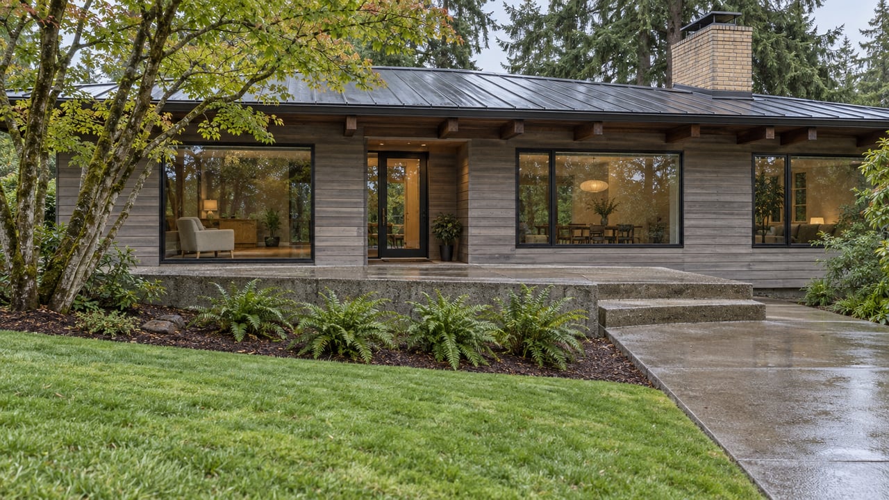
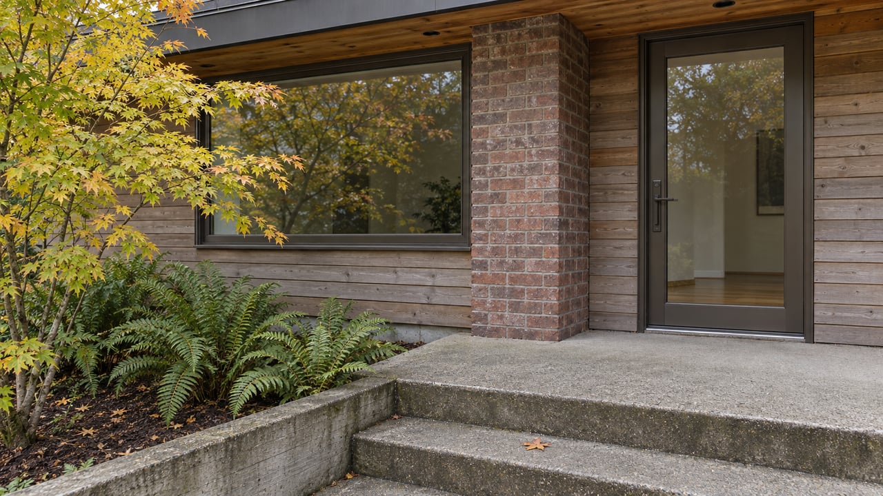
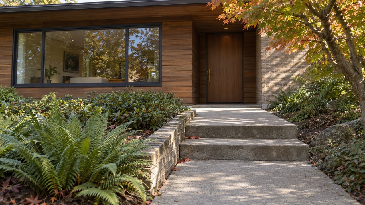
The other thing that gets flattened in the generic version of Gatewood is what daily errands actually look like here. The neighborhood is almost entirely residential, a mix of early-1900s cottages, postwar houses, and newer builds spread across streets that end abruptly at the plateau's steep edge. There isn't a commercial strip inside Gatewood's own boundaries, and that's not an oversight. It developed as a residential stop along an early streetcar line, and it has stayed that way.
What fills the gap is a small handful of spots that residents treat like their own even though there's no business district around them. Cafe Ostia is the coffee stop people default to without discussion. Westy's Sports Bar and Spirits handles the game-day crowd with a menu that leans into classic pub fare with its own twist. Locol Barley & Vine hosts live music on a regular enough basis that it functions as the neighborhood's closest thing to a scene. Gatewood Bed and Breakfast sits tucked into its own garden, quiet enough that most residents forget it's there until they need to put up out-of-town family.
For anything beyond that short list, the pattern is consistent: people drive or walk to Morgan Junction or the West Seattle Junction, both just outside Gatewood's edges, for groceries, restaurants, and the rest of daily life. That's not a complaint anyone here seems to make. It's just the deal. You get quiet, tree-lined streets and two very different parks within walking distance, and you accept that stocking the pantry means a short drive to somewhere else.
The Part Worth Remembering
The next time someone repeats the "highest point in Seattle" line about Gatewood, the more accurate answer isn't a correction so much as an upgrade. The neighborhood's actual claim is narrower and, honestly, better: it holds the highest park in the city, and a few blocks from that park sits one of the rarest patches of forest still standing inside Seattle's park system. That's two distinct, verifiable things to be proud of, instead of one slightly inflated one.
It's a small distinction, but it's the kind that separates a neighborhood residents can describe accurately from one they've only ever described in passing.
If you're curious what a home near Myrtle Reservoir or Orchard Street Ravine is actually worth in today's market, or you're weighing a move to this side of the plateau, Hines Group knows these blocks well enough to walk you through them in person. Request a Complimentary Home Consultation whenever you're ready to talk specifics.